Antarctica Day 1
Antarctica as seen from space, image from NASA.
Imagery Preface: Please note that I’ve attempted to add a ‘lightbox’ feature to as many images as possible. This allows you to click on an image to see it in a larger view if you so desire.
Sunrise: 3:35 AM. Sunset: 11:13 PM.
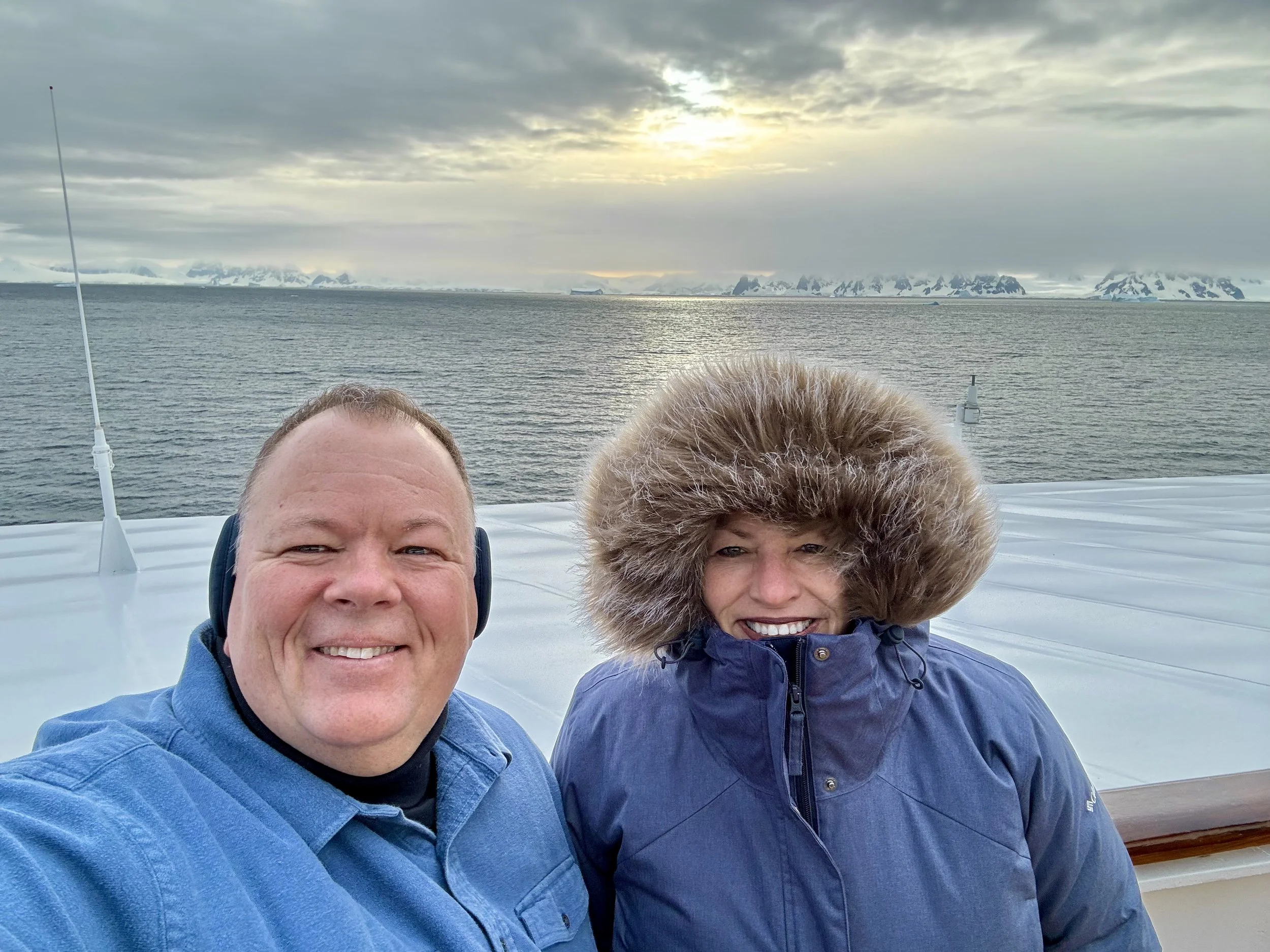
Today we begin our adventure within the Antarctic circle, just a few hundred yards from the Antarctic Peninsula. There is much to share, and there’s an extraordinary variety of different experiences and encounters we will have over the coming days, with the ice, with Mother nature, with the creatures that call Antarctica their home, with the sea, the wind, and the sun.
This day will not go as planned, or even close. But it is special in its own way, historic in my life, and eventful in ways that remind us that there’s a reason it took until the 1820’s for humans to discover that this continent existed, and another hundred years before explorers could actually explore and document and survey this area of the planet. And, in enduring the windstorm that ultimately overtook us, we were rewarded with our first whale encounter (video near the end of this post).
A few facts about Antarctica that you may not know:
Antarctica is the highest, driest, coldest and windiest continent on Earth
Antarctica covers 14.2 million square kilometers (5.5 million square miles)
The Antarctic ice sheet is the largest ice store on earth
Its mass is 30 million cubic metres (7.2 million cubic miles)
Its average depth is 2,160 metres (7,000 feet), with a maximum depth of 4,776 meters (15,669 feet)
Ice covers roughly 98% of Antarctica, which equates to 90% of the Earth’s ice and 70% of our fresh water
I set my alarm for 5:30 AM as I would like to see the first moment that we see the continent of Antarctica.
At 5:54 AM I take this picture from our balcony. This is the beginning of the Antarctic Peninsula and we are about two hours away from arriving at Palmer Station, Antarctic 64.77°S, 64.05°W which is the United States Scientific Research center that houses up to 44 scientists.
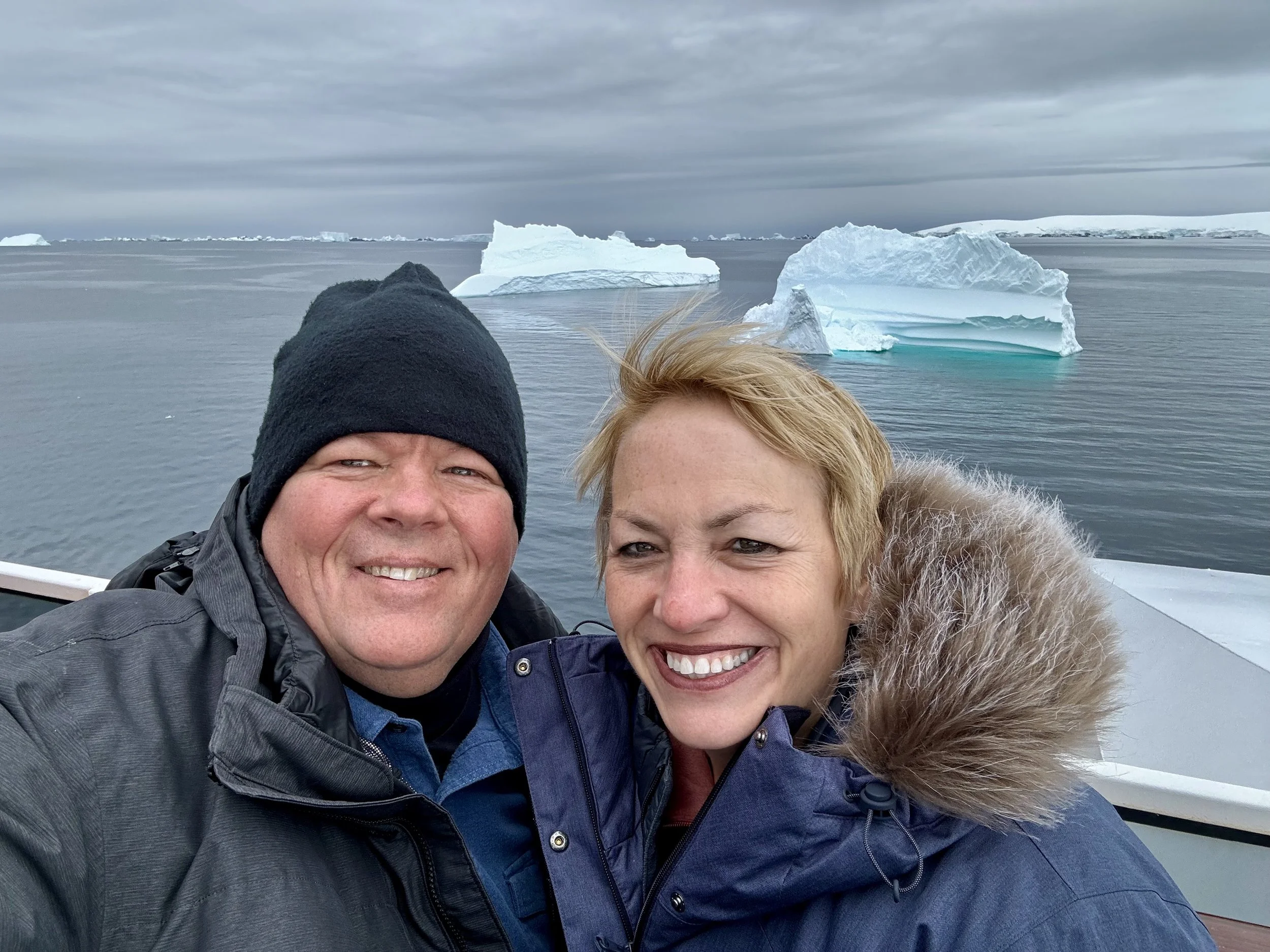
All of the following images are of icebergs and landscapes on our way to Palmer Station.
Today’s intended itinerary:
Palmer Station
Lemaire Channel
Neumayer Channel
The Lemaire Channel, along with the Neumayer Channel, is known for its stunning views, entrancing many Antarctic visitors as they are surrounded by towering natural ice sculptures and tabular icebergs. Playful penguins and seals are typically a major draw here, as well as whales. The Neumayer Channel is about 1.5 miles wide which is narrow when navigating around icebergs. But the coveted trip through the Lamaire Channel, has points that are as narrow as 2,000 feet so you’re as close as you’ll ever get to the ice cliffs by a boat our size.
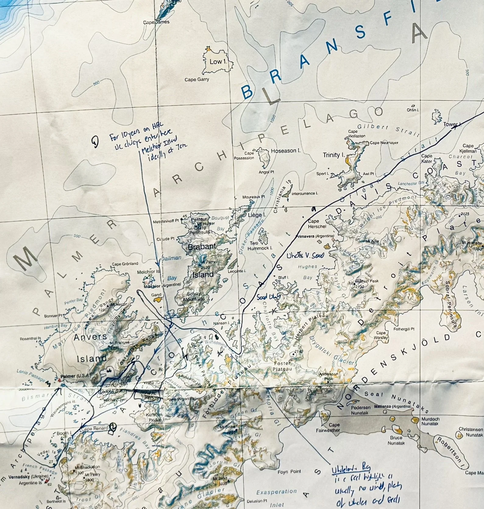
See the Captain’s intended route below.
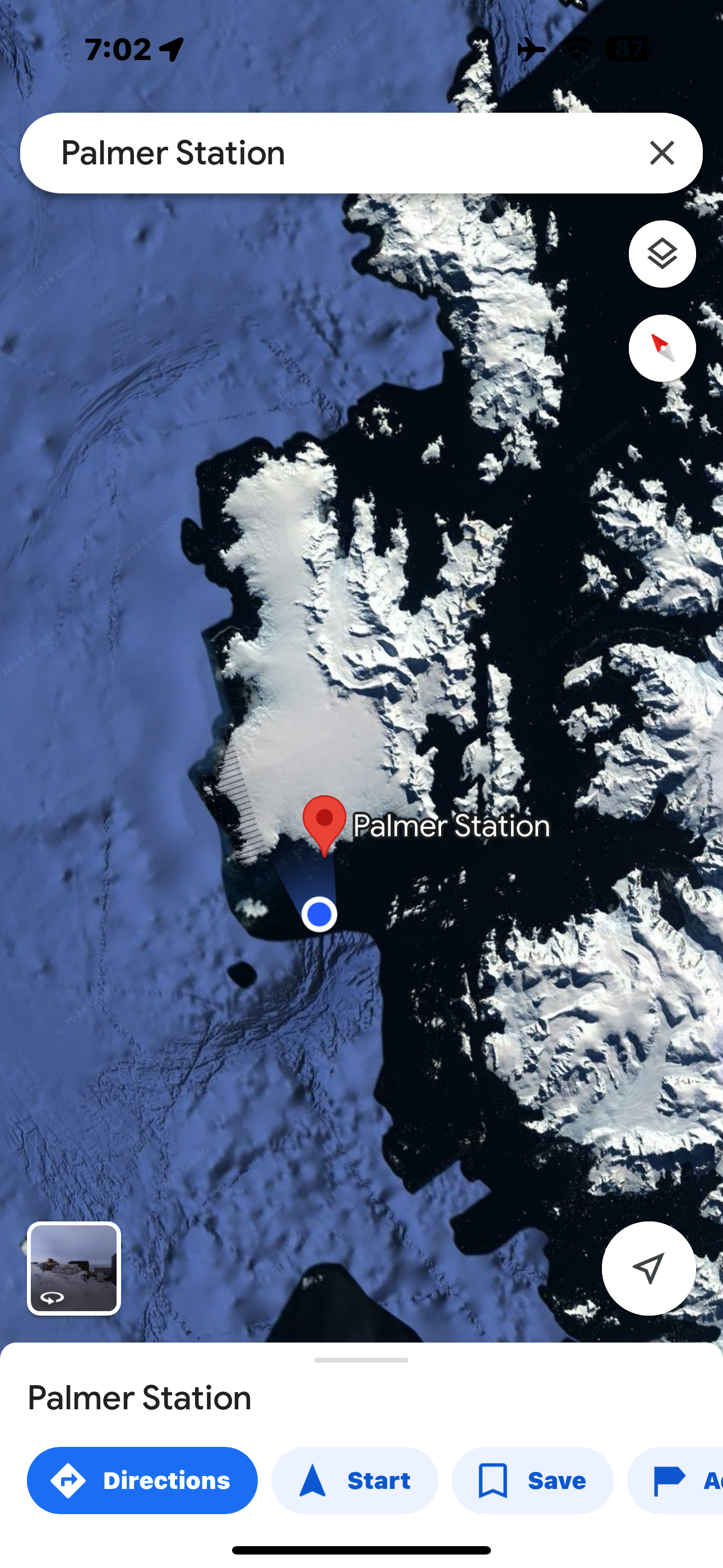
I used google maps to capture our position an hour before arrival at Palmer Station.
Just before we arrived at Palmer Station, the light in the sky changed and I was able to capture the two images below. Often every tone here is of blue and grey… but the warm color of the sun trying to breach the clouds gave a hue I particularly loved.
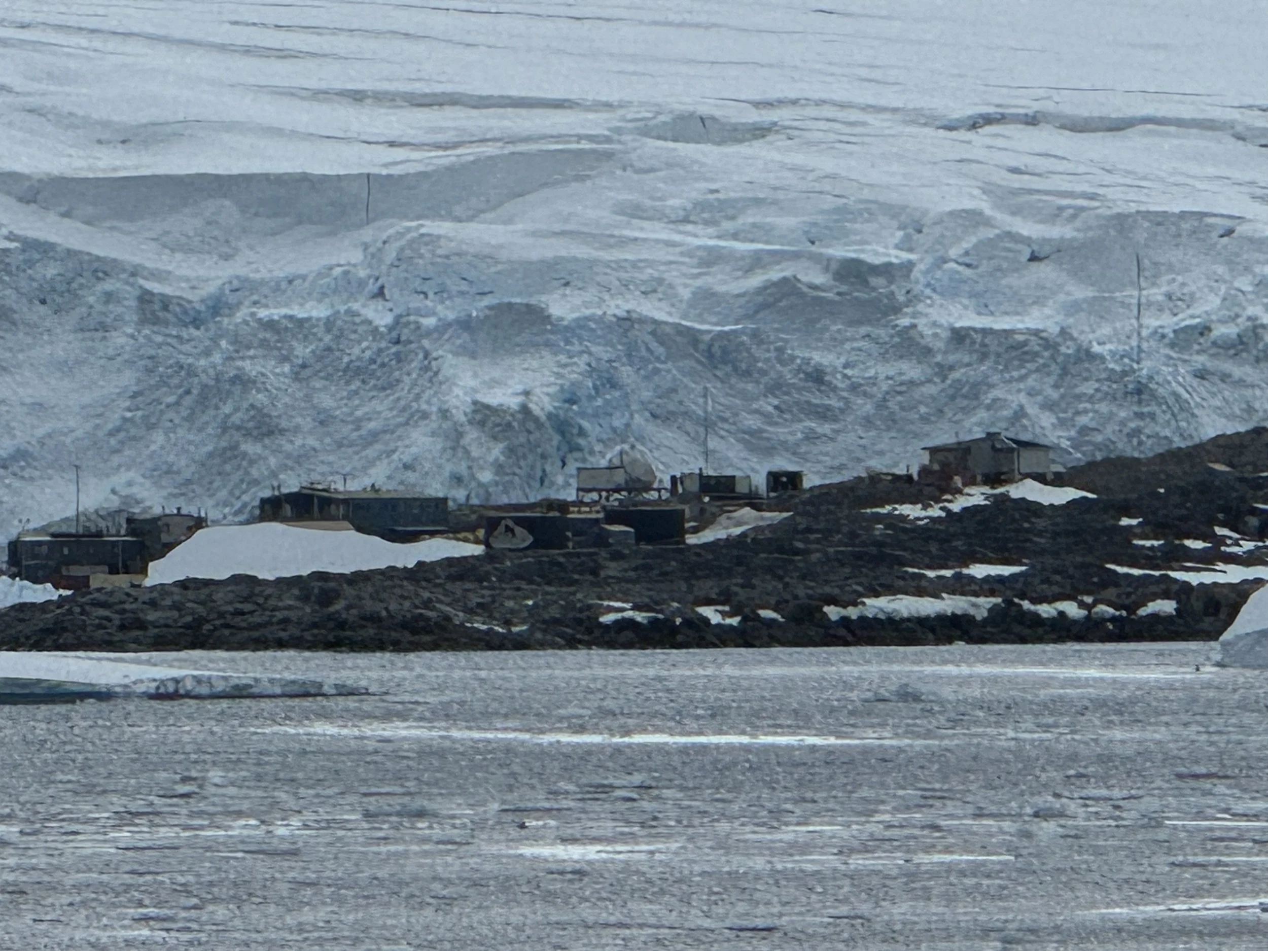
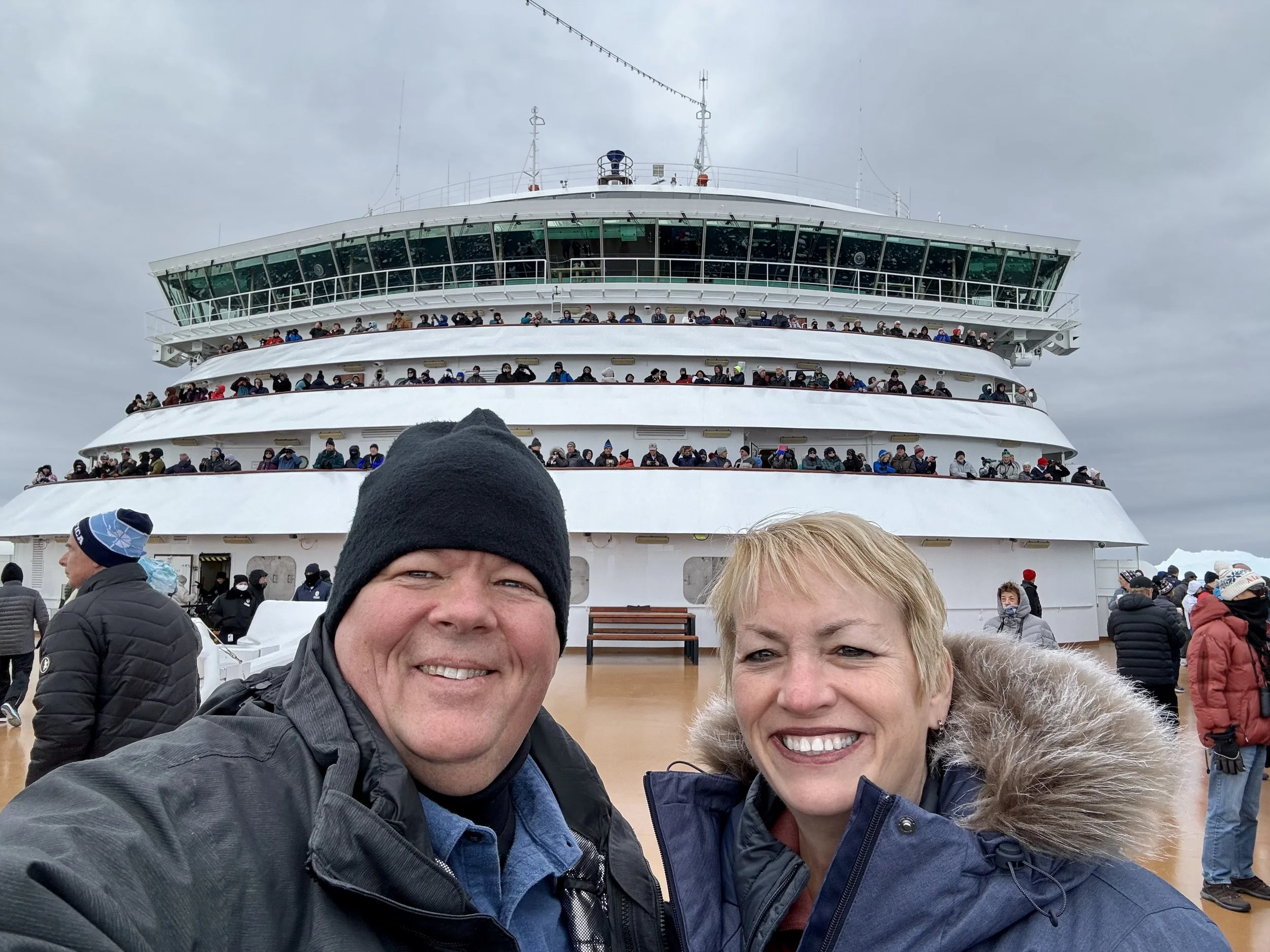
Palmer Station. We’ve arrived. As we arrive we are standing on the bow of the boat as we’re told that the captain intends to open a radio channel with the scientists there and have a conversation that all of us on the bow will hear.
I shot a video of this entire experience, however, due to the wind, and noise of the people standing around us on the bow, it’s not worth posting as you just can’t hear the dialogue like you can in person. It was about 10 minutes of the scientists welcoming us, and the Captain speaking with the scientists, and them giving us some updates on the conditions in the area. They finished with a warning about the impending condition changes we would likely experience and stated they would be readily available for support if needed.
Conditions did change. Support was needed. It was a long night for the Captain and his Officers and crew.
We are on the bow and this is as the ship is facing Palmer Station. It’s relatively calm. About 31 degrees.
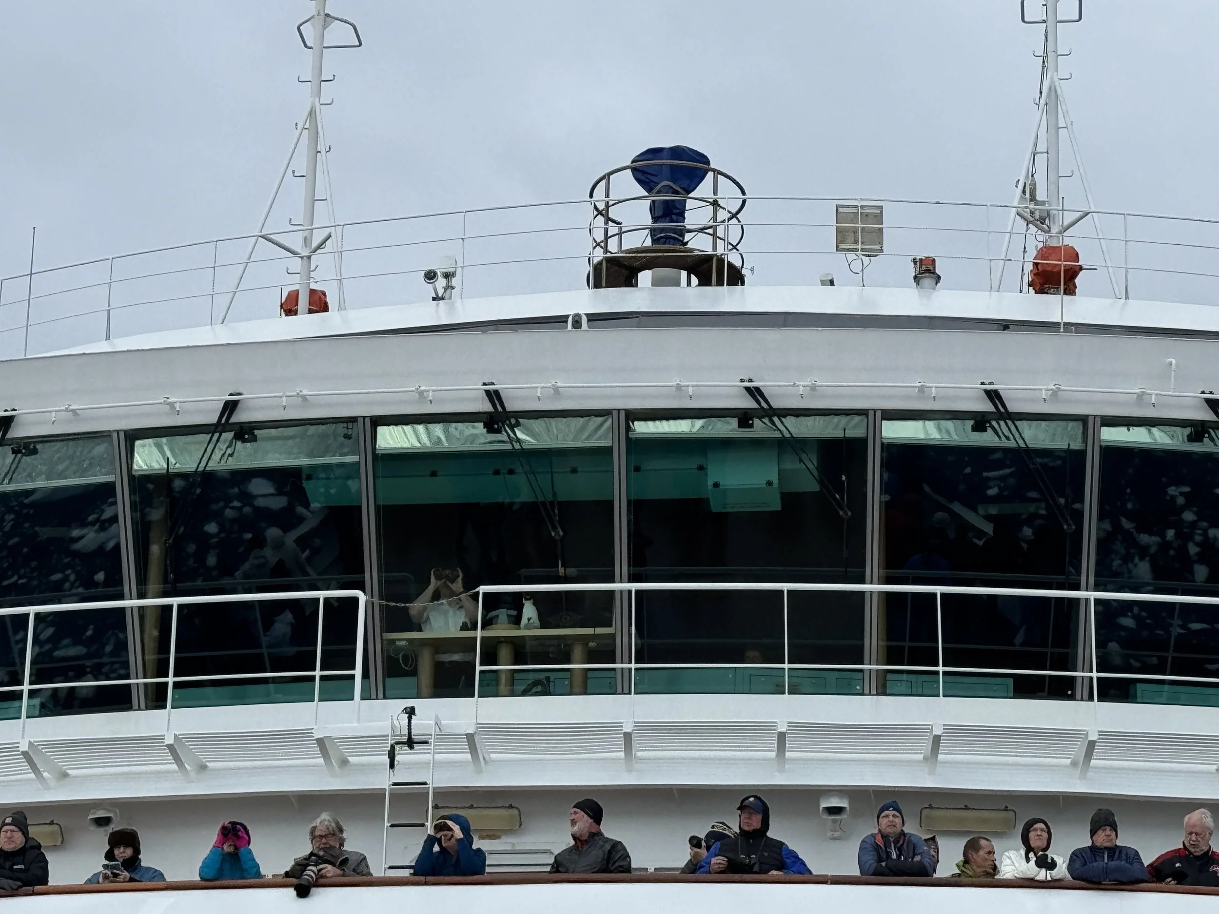
Below we capture our Captain, Captain Kevin Beirnaert from Belgium, looking through his binoculars as we begin to make our way from Palmer Station.
I wish I were able to upload the high res versions of these videos (below) for you but wifi is challenging from this part of the world, and aboard a ship. So, for now, they are low res. Upon my return to civilization where wifi is fully functional, I will upload higher res video’s along with links to download 1080p and 4K videos where appropriate.
It’s about 3 hours now before we make our way into Lemaire Channel. Below are a series of images and videos captured along the way.
Today’s Moment of Zen below.
Go full screen and take in 10 seconds of majestic peace for yourself.
One of my favorite images of the day. The ice field. This before the winds came.
After this we were in open waters heading towards Lemaire Channel… and our expedition leaders began what would be four days of sharing the history of the area, explaining what we were seeing, and alternating between narrating to those of us in the crow’s nest, and aiding the Captain in navigating the area.
As it turned out, most of their attention would turn to navigational support as early as noon. The weather changed as predicted by the scientists at Palmer Station, but everyone thought it would improve, and the Captain shared over the speakers across the ship that he was determined to get us into Lemaire Channel. The attempt around noon failed due to the 35-40 knot winds that had blown in. So he would stay in open waters to navigate the moving icebergs and try again late afternoon. If that attempt failed, he would attempt the Neumayer Channel and the stay overnight in open waters and attempt Lemaire again first thing in the morning.
These are the 25-30 knot winds that were blowing by just 10 AM. I suggest you turn your volume down if you intend to listen.
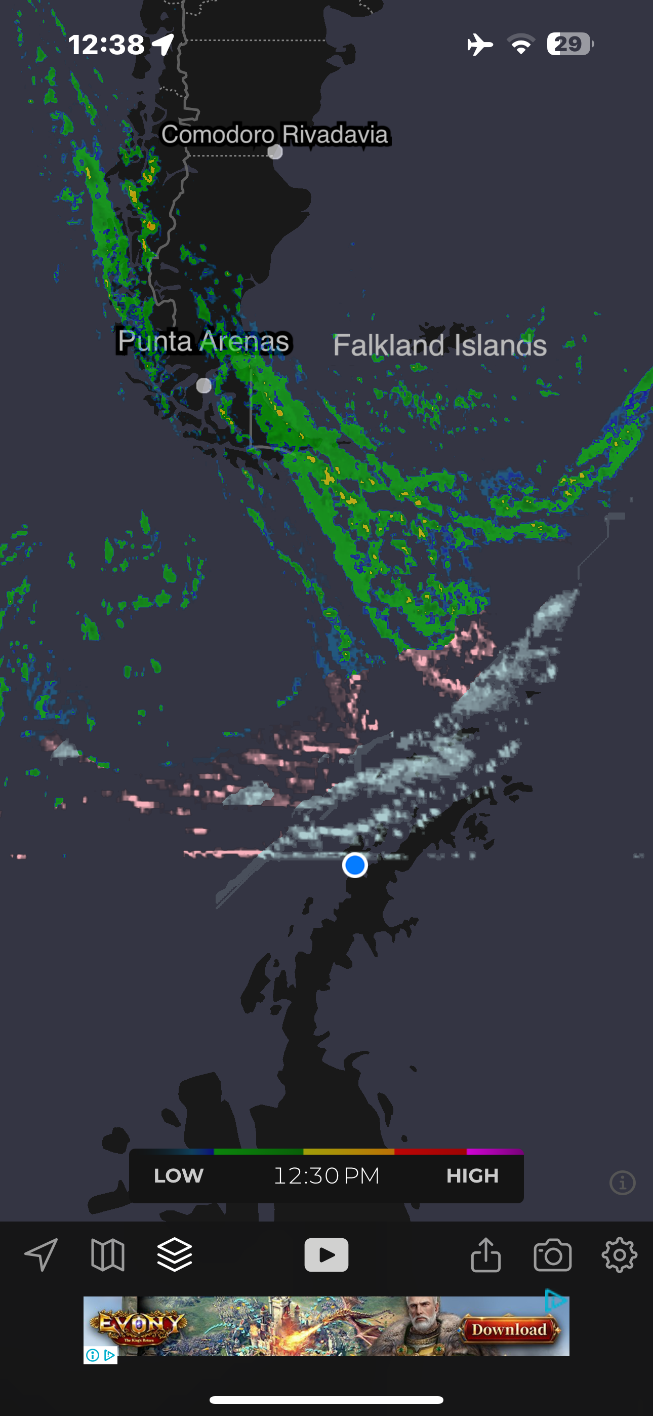
I was able to pull up the radar just after noon and it was obvious the low pressure they warned us about at Palmer Station was intensifying.
And so, the next few images are what I could capture before they locked down the bow, and the other decks, due to high winds.
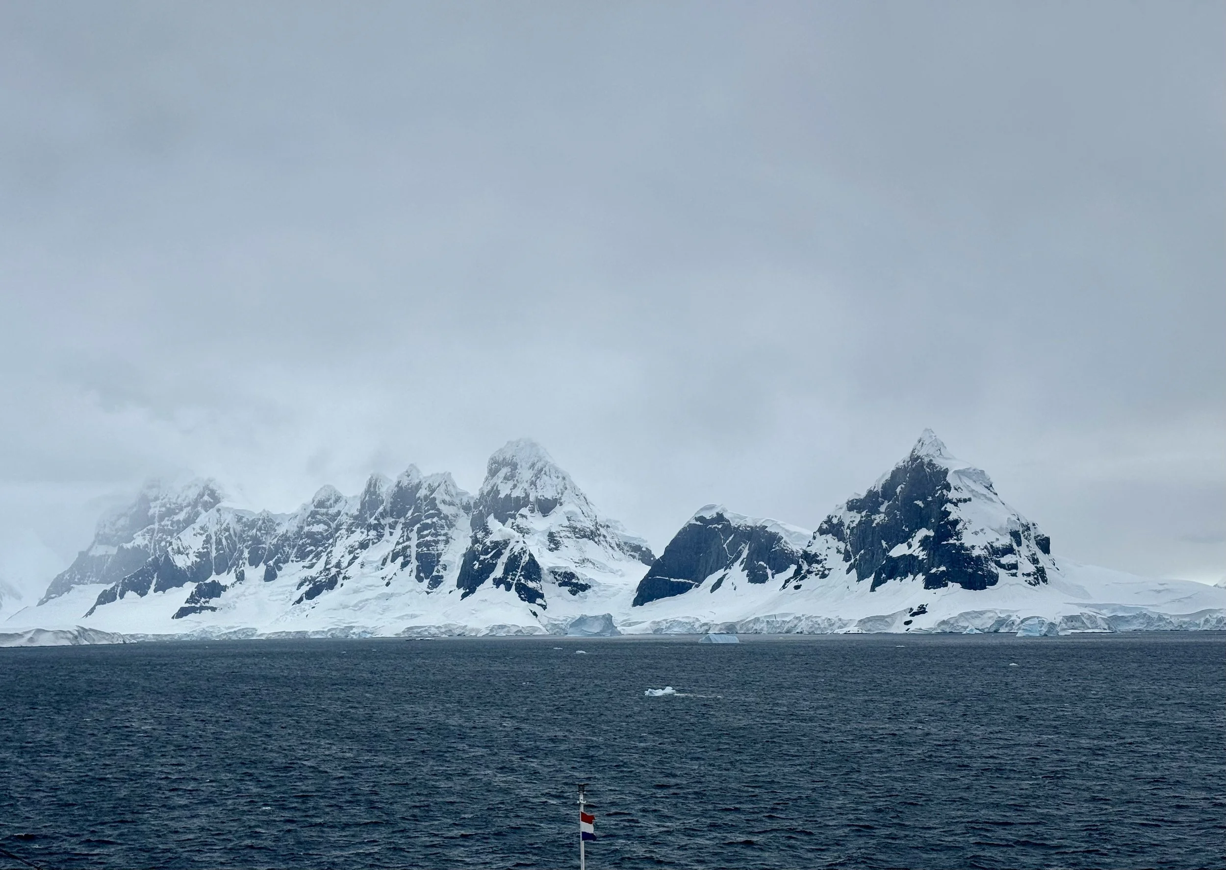
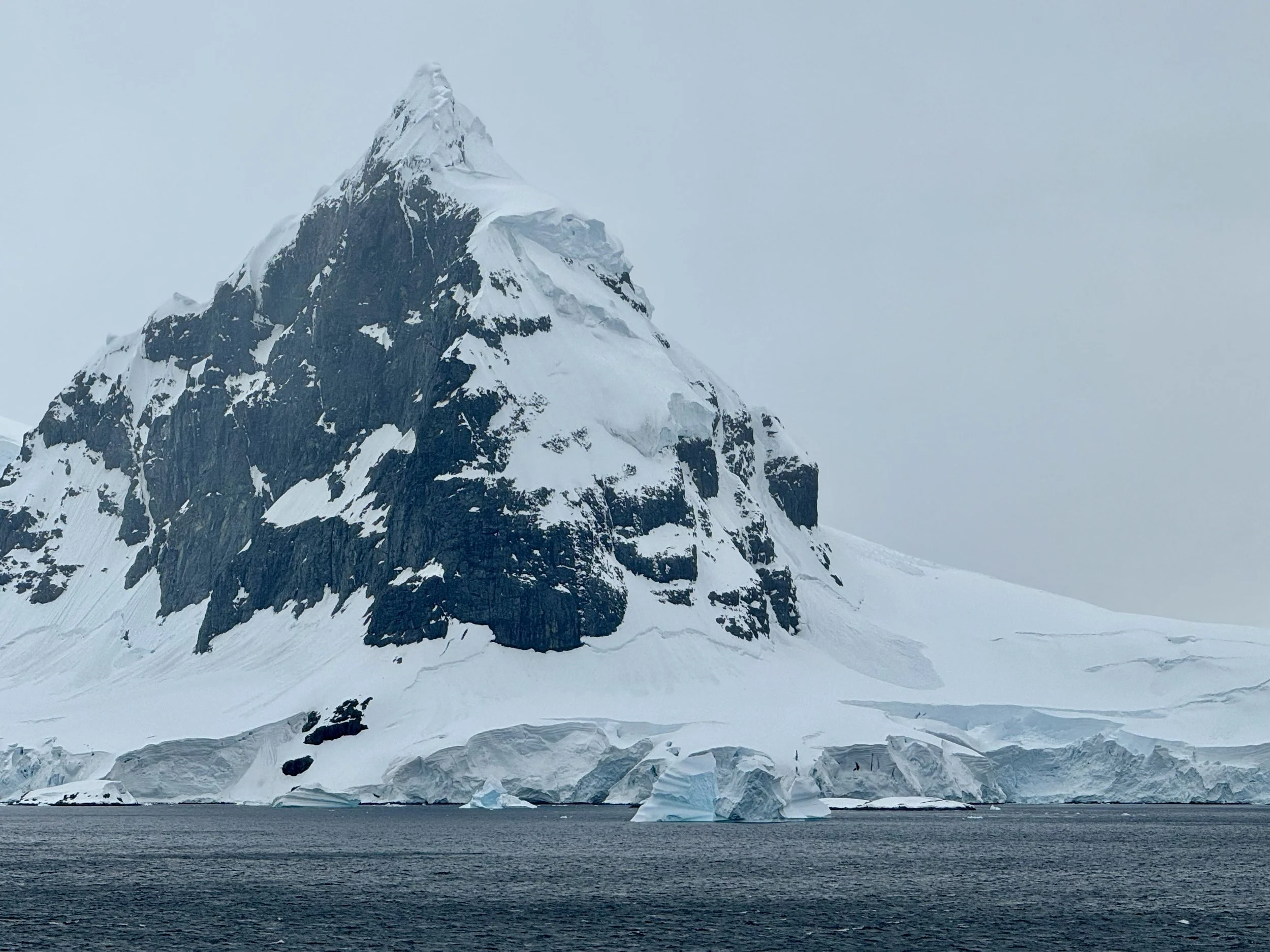
The next few images capture Weincke Island peaks which we will awake to see with a few coat of snow in the morning. They will hopefully provide protection for us tonight.
This image best depicts the weather coming in from the West/Northwest.
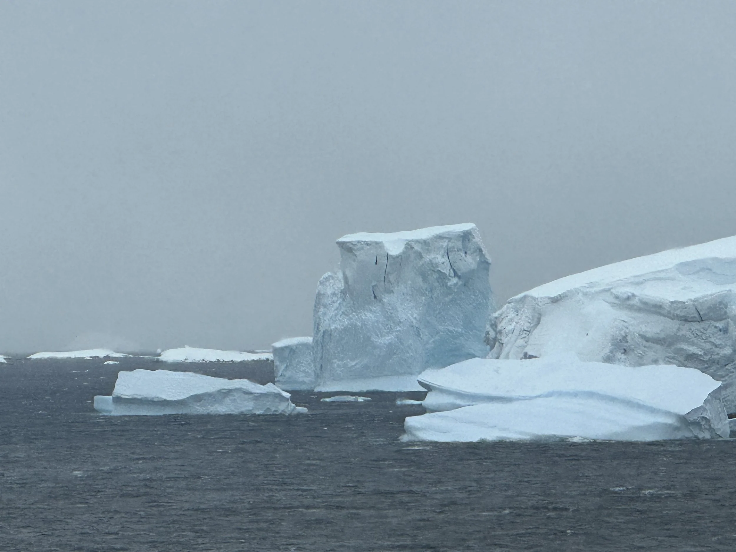
The unstable ice shelves preparing to launch new icebergs.
Tribute Image of the Day:
An iceberg tribute to my Amazon ACES family in the image below. A seemingly perfect spade window cut through the iceberg. I decided just after that to record a message outside in the high winds for the team call, and sent it to Lucas but apparently the winds were so loud you couldn’t hear anything I said. The thought that counts?
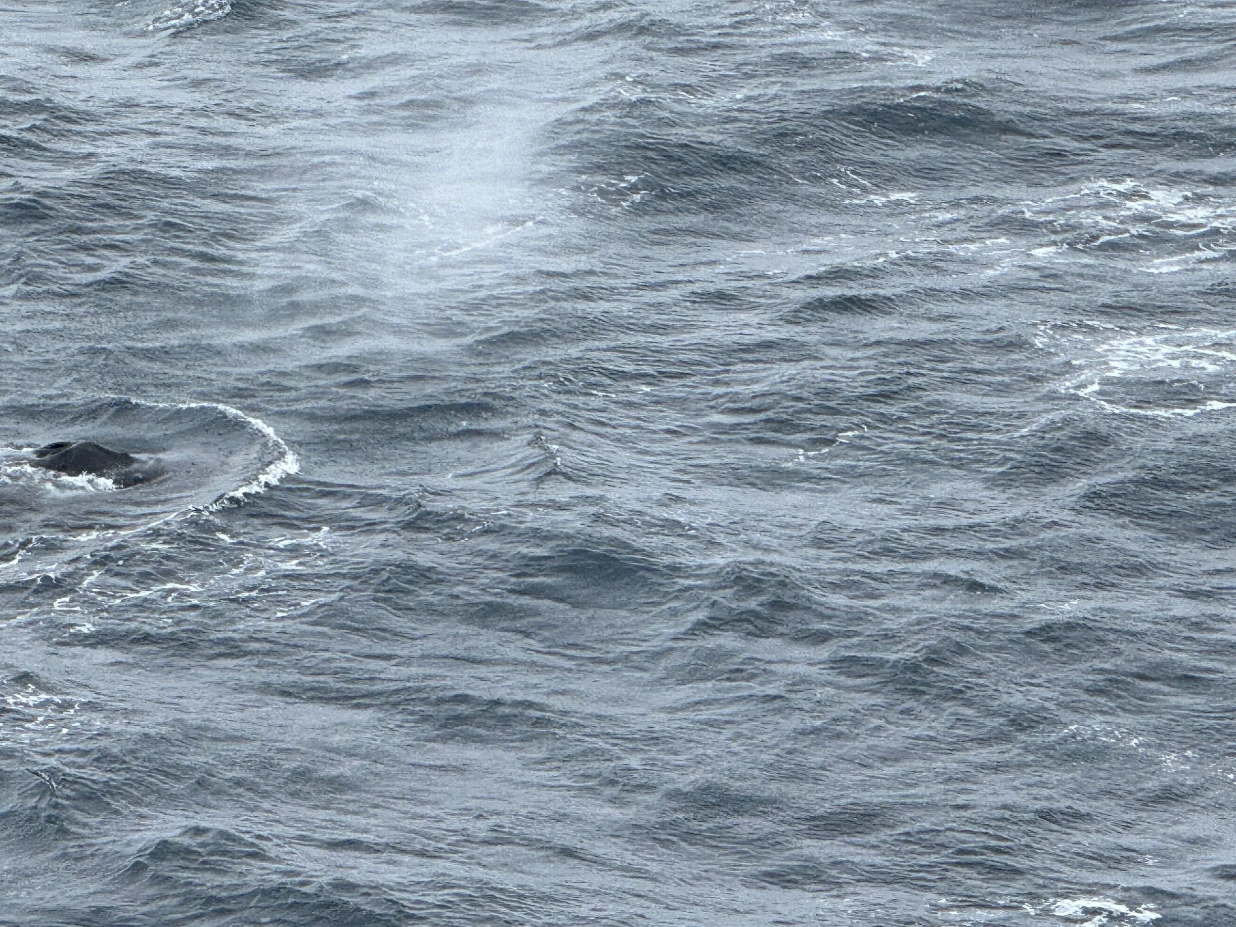
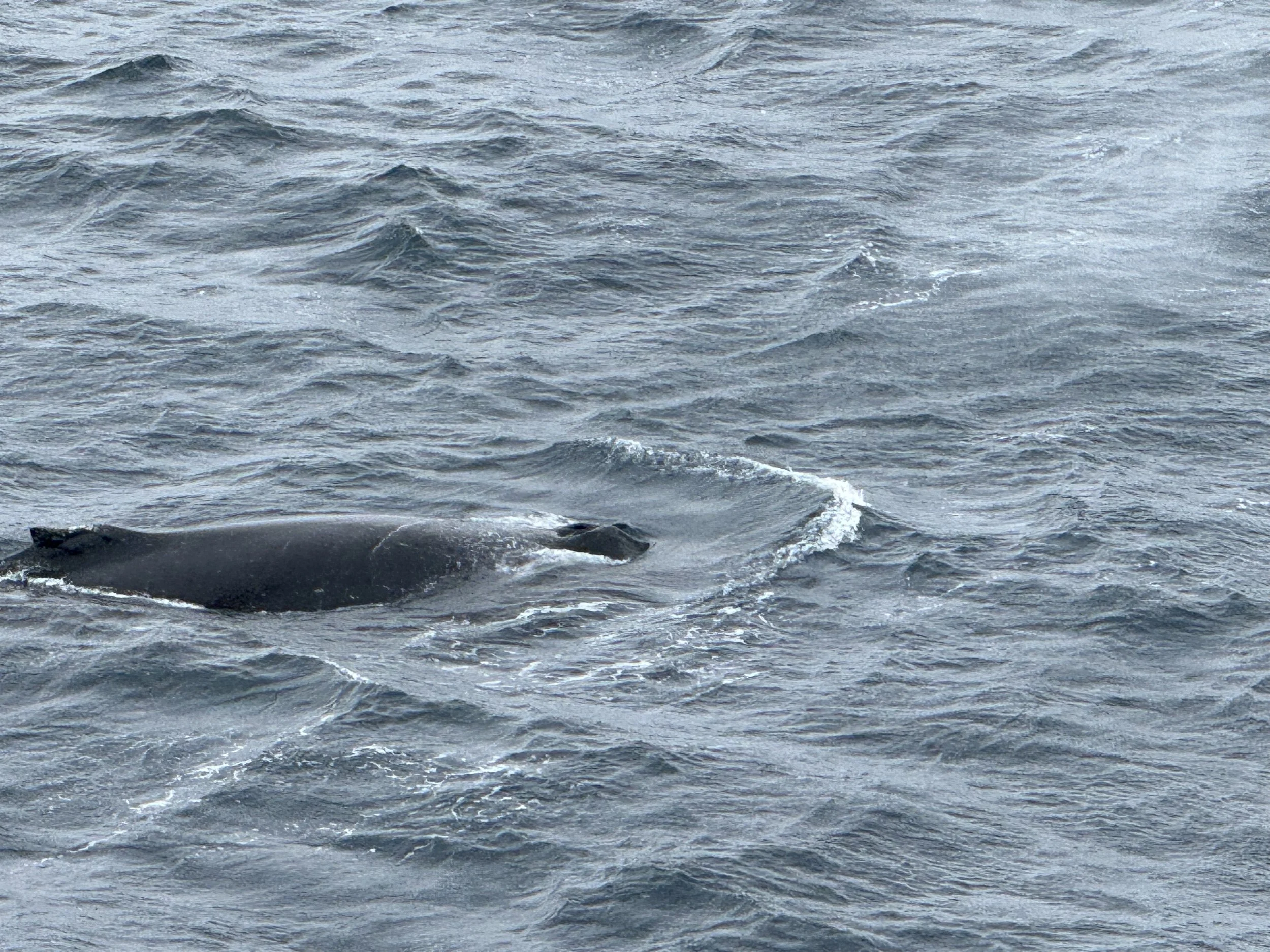
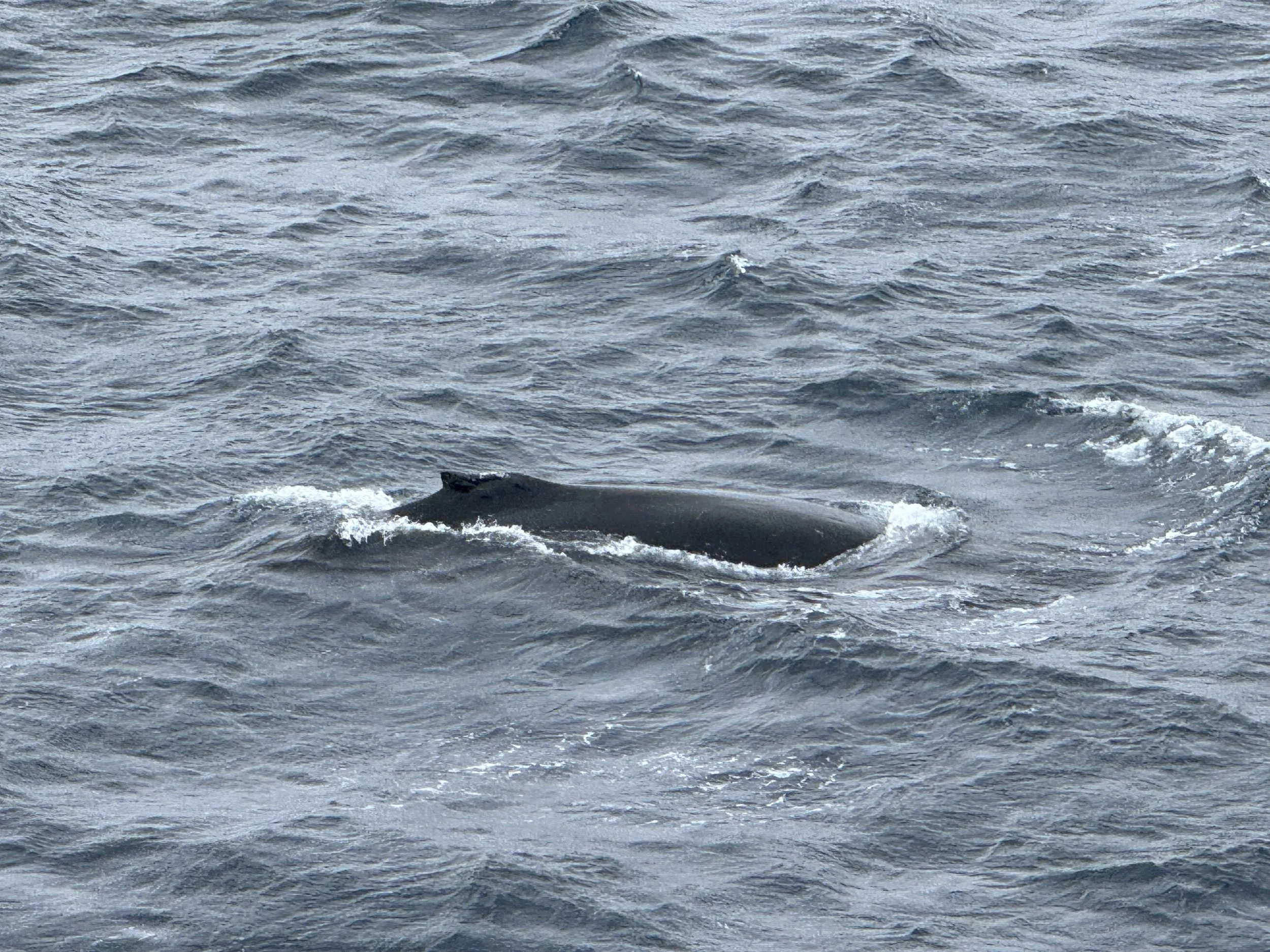
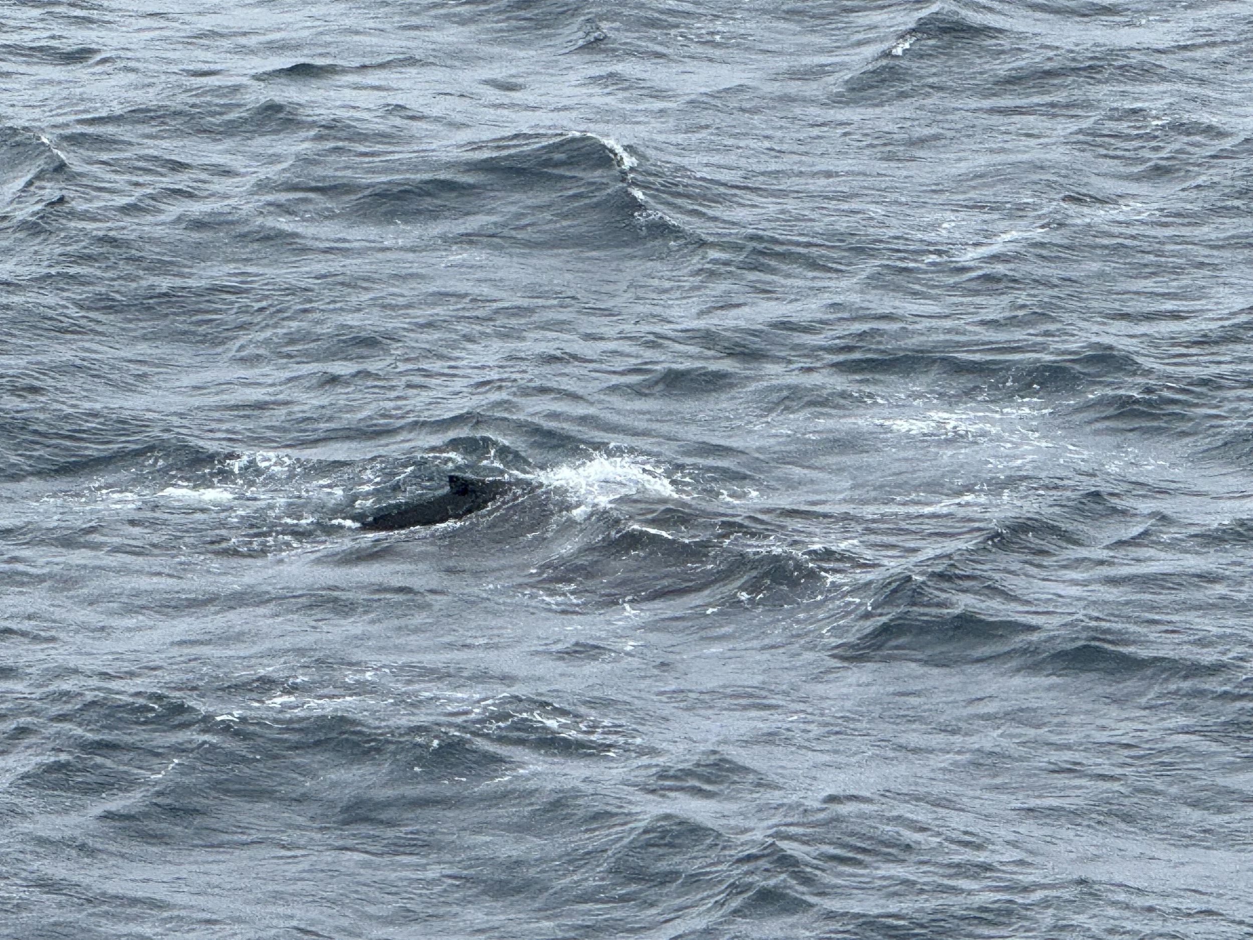
All of the official ways to access the outside of the boat are closed for the rest of the day. However, Trina and I discovered a secret exit near the fitness room that is not an official deck, manned by staff, but rather a simple turn lock with a sign that hangs on it saying it’s closed. Someone moved the sign. And therefore, I didn’t really know it was closed. This led to my first capture of a whale close up, and the whale was kind enough to tail wave which was a great positive way to end the day.
Then I decided to start video capture in case the whale resurfaced…. and was rewarded…
Over the next few hours, I would steal out onto that small exterior access to capture images and videos between squalls when the winds would calm a bit. This was one of my favorites as it showed the dark sky which was moving quickly upon us, even though we were still 6 hours from sunset which would be after 11 this night. This is another video which is beautiful full screen.
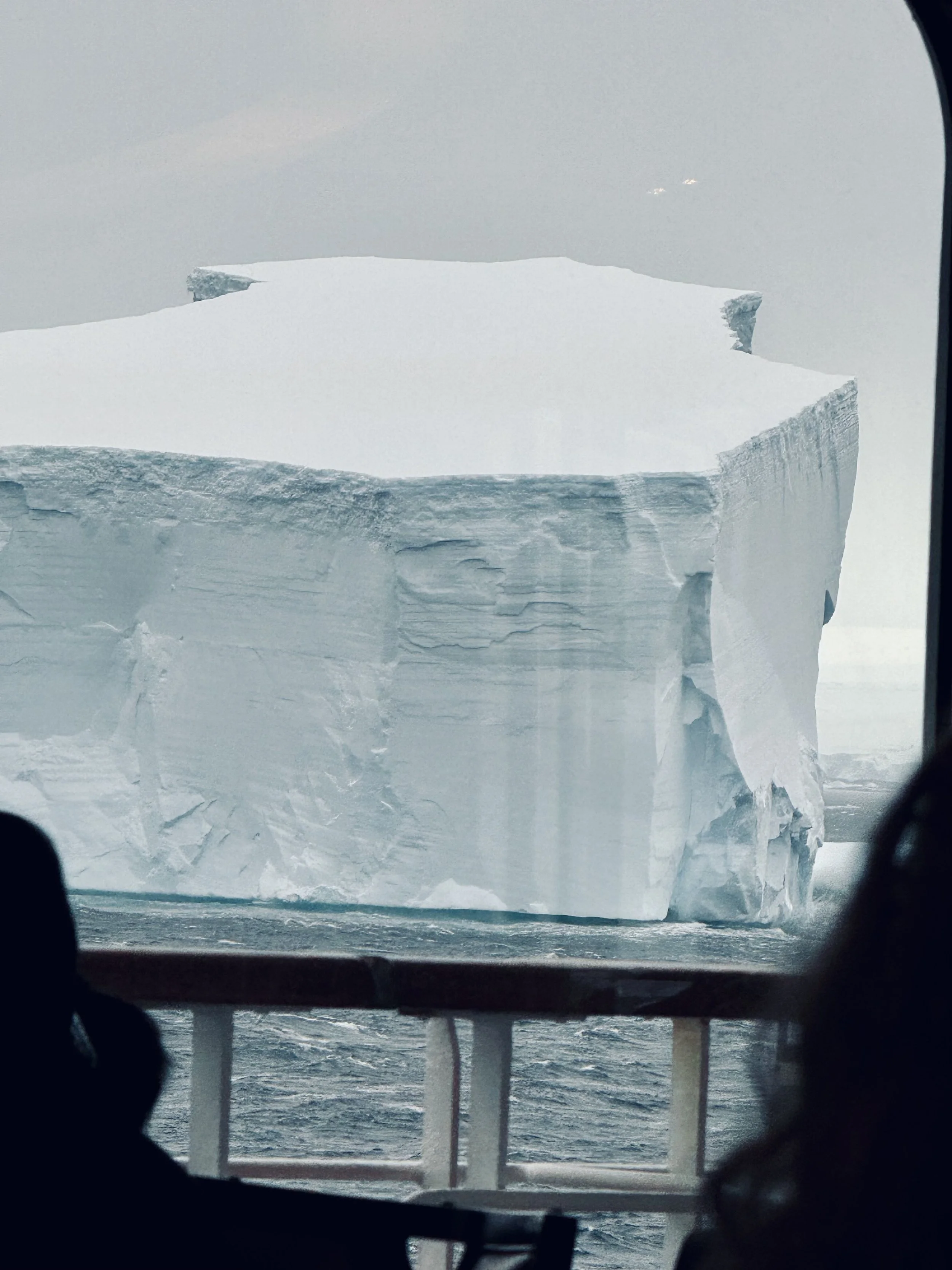
During dinner, it was an eerie sight knowing we were in a fixed position and seeing this iceberg float by the window in the image below. We would learn the next morning that these icebergs were traveling at over 20 km/hr due to the storm.
The Captain addresses the ship over the loudspeakers at dinner and informs us that the ship will navigate to the safest place possible, face it’s bow into the wind, and he, his officers, crew, scientists, and expedition experts will keep the ship and all aboard as safe and comfortable as possible through the night. The wind are now sustained at 40 mph and expected to climb overnight.
My last video of the day below. We’re going to call it a night and needless to say, I’m glad we’re here in the middle of summer. This is from our balcony at about 8:30 PM. It’s 27 degrees but with the 40 mpg+ sustained winds, it feels like 0 degrees or just below.
We will learn much more in the morning from the Captain’s address of the ship at 7 AM. We are grateful for all the expertise onboard. I'll share the expedition experts names and backgrounds tomorrow. You can check out the lead expedition specialist here if you like, it’s Graeme Ayres who’s world-renowned for his Antarctic expertise and rescue experience.
The winds are howling. We are hopeful that tomorrow we can travel through the channels as intended.
