Antarctica Day 3. A Polar Paradise. A Magnet for my Soul.
Yes, there are spots, places, bays, islands, a schedule, and map we will follow, and I will outline in our continuing journey. But that’s the stuff of the day. It’s not the matter of what matters, to me.
What matters to me, I’ll hopefully find ways to express, or interject, or point out, if I can put words to it, or even identify it myself. Some, in this day, I already know. It will be easy for you to recognize. Others, well, perhaps I’m still trying to figure that out.
Sunrise: 3:38 AM. Sunset: 11:07 PM.
Agenda for today:
Charlotte Bay
Between the Bay & Island mid-morning… my best whale encounter of the trip.
Deception Island
Set Course for Elephant Island
As an aside. Please note. What I share here is but a smidgeon of what is happening. There’s seminars from renowned scientists, expedition specialists, enthusiasts who’ve been here more than a dozen times, shows, games, art auctions, live music, piano bars, dance (I will circle back on this though), gala dinners, special events, photo shoot sessions, fine dining experiences, contests, and so much happening. I share but a wee bit of what many are doing, or could be, and even of our overall ‘cruise’ experience. Generally, I’m just trying to capture my thoughts, and/or share some of our journey, with our friends, family, and colleagues. But, it’s from a personal place. Not a full accounting. Time is not afforded for more. And, personally, I can barely scratch the surface here. The rest I’m still processing, or, perhaps my insights, thoughts, or visions would not resonate well with others. I shall hold that close, for now.
Today’s First Moment of Zen:
Just over a minute of peace in entering Charlotte bay at 7:57 AM. I encourage you to hit the icon to take this full screen, and hit play. The bow is not yet open so this is from our stateroom balcony.
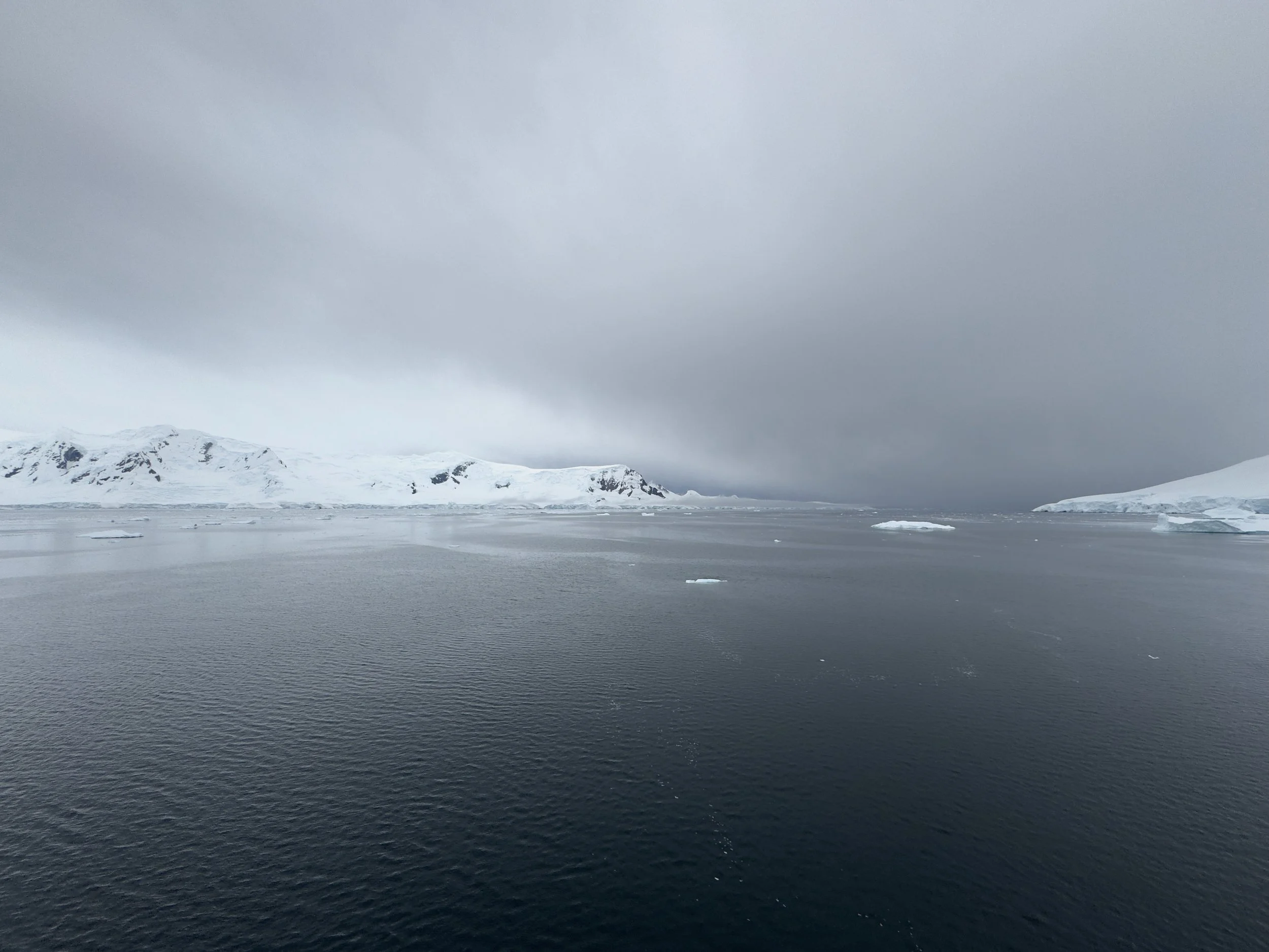
The unpredictability of the this journey is part of what makes it so special to me. We are truly at the mercy of the wind, the ice, the wildlife, and mother nature could care less the size of our vessel. This place makes you realize how vast and large and dominant it is, and how small you are in comparison, to its size, and will. I love feeling this small.
This is a polar paradise. I do feel humbled to be here. The reality of my life feels as though it’s just stopped, in a moment in time, while I am here, so very present, taking in the majesty. Where am I? Is this still earth? How is it that there’s a place that’s still this pristine, untouched, untethered to civilization and society, when the globe is traversed with billions of humans.
This, is the opposite of my life. The polar opposite of my life. There’s a striking resemblance between what surrounds me, and the places I’ve taken refuge in my life to heal, recover, center, hide, and calm myself. The snowy Rockies. The snowy canyons. The winters in cabins snowed in. The tiny mountain streams cutting through snow in Montana.
This, is different. This is everything that I seek, but it exists every day. In the moments of my life when I have found refuge in places ‘like’ this… as silly as that sounds as nothing is like this… it’s odd how I sought ‘this’ to heal, recover, center, calm myself, etc…. only to return to the places that have made it necessary for me to seek these refuges. As I take in each breath of the cold, clean, clear air… as the stillness, floating, soaring, playful swimming, nurturing, untamed nature presents itself to me here, I feel that magnet of desire to shift the priorities of my life to align better with my nature, my being, perhaps my calling, perhaps my needs. Will the force of that draw be enough to drive change that brings me closer to center, healthier, creatively unchained, soaring…?
I’ll end today’s post with a video from this bay along with one of my all-time favorite songs which resonates deeply for me, always.
“Travel is fatal to prejudice, bigotry, and narrow-mindedness, and many of our people need it sorely on these accounts.”
It’s 7:57 AM and the Captain has been navigating the Gerlache Strait and if you watched the video above, he’s moving us into Charlotte Bay which is part of the Danko Coast in Antarctica and its head is fed by the glaciers Nobile, Bozhinov, Krebs, Wellman and Renard. These images below are taken from our stateroom deck just before we head to the bow of the ship that they are about to open.
And now, just a handful of minutes later… we are on the bow… and the expanse of the bay opens to fill all that we can see… and the glaciers are all coming into view…
Yet for all this beauty, this is one of the most important elements to this morning and our day….
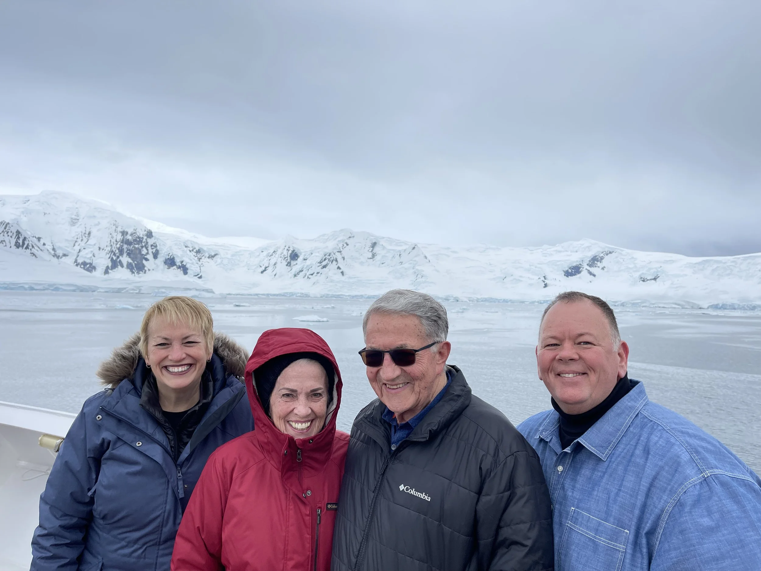
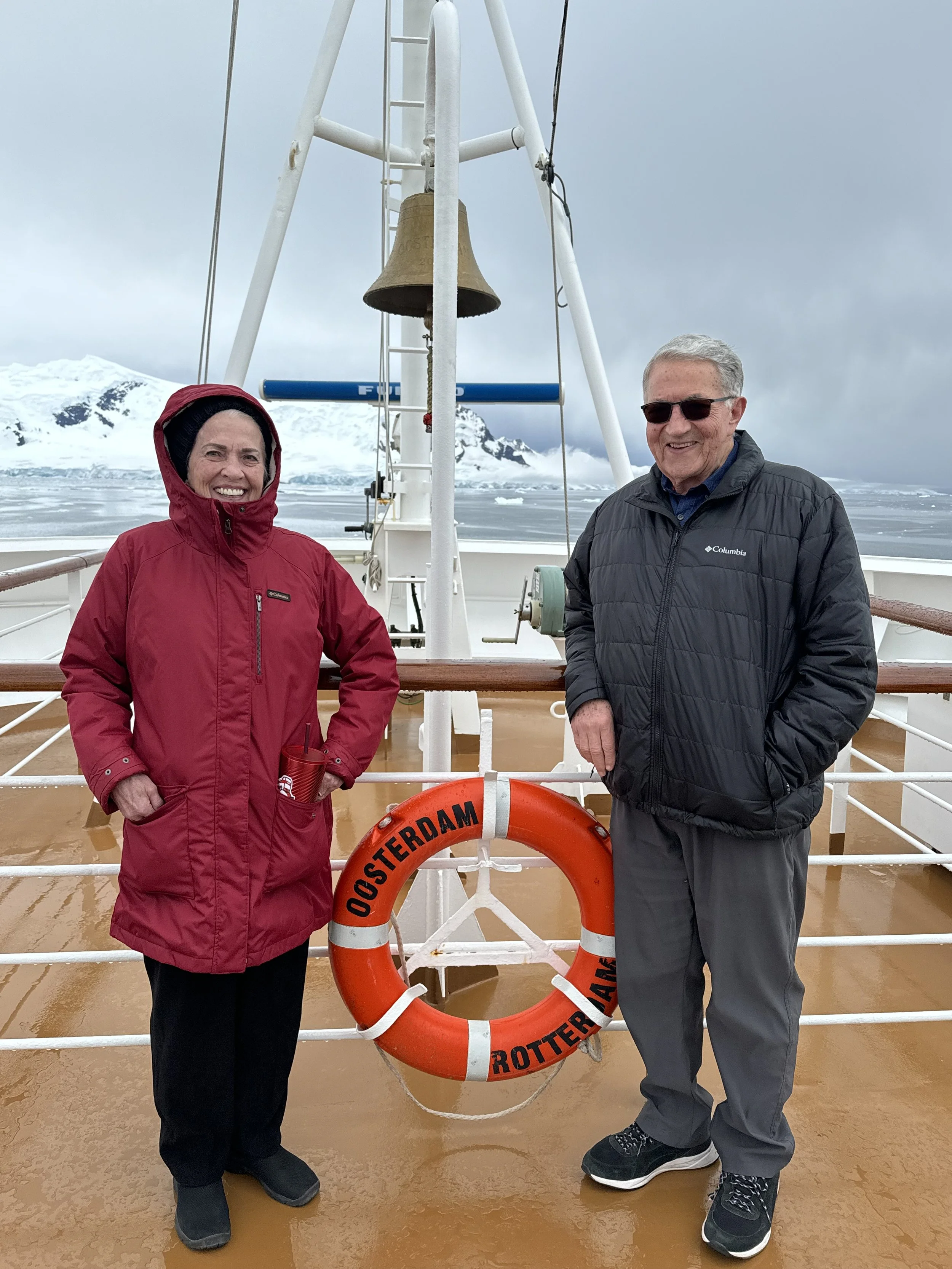
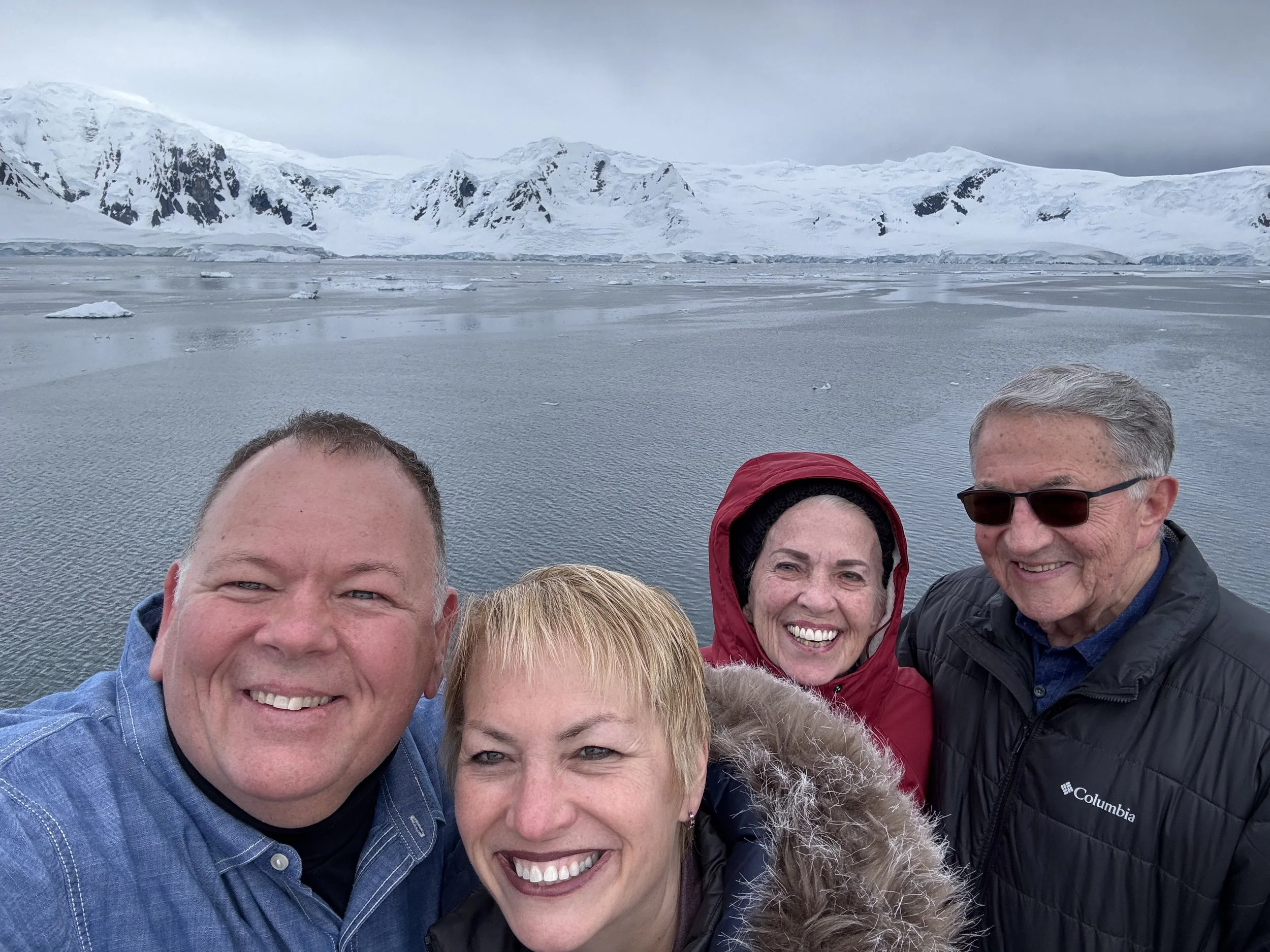
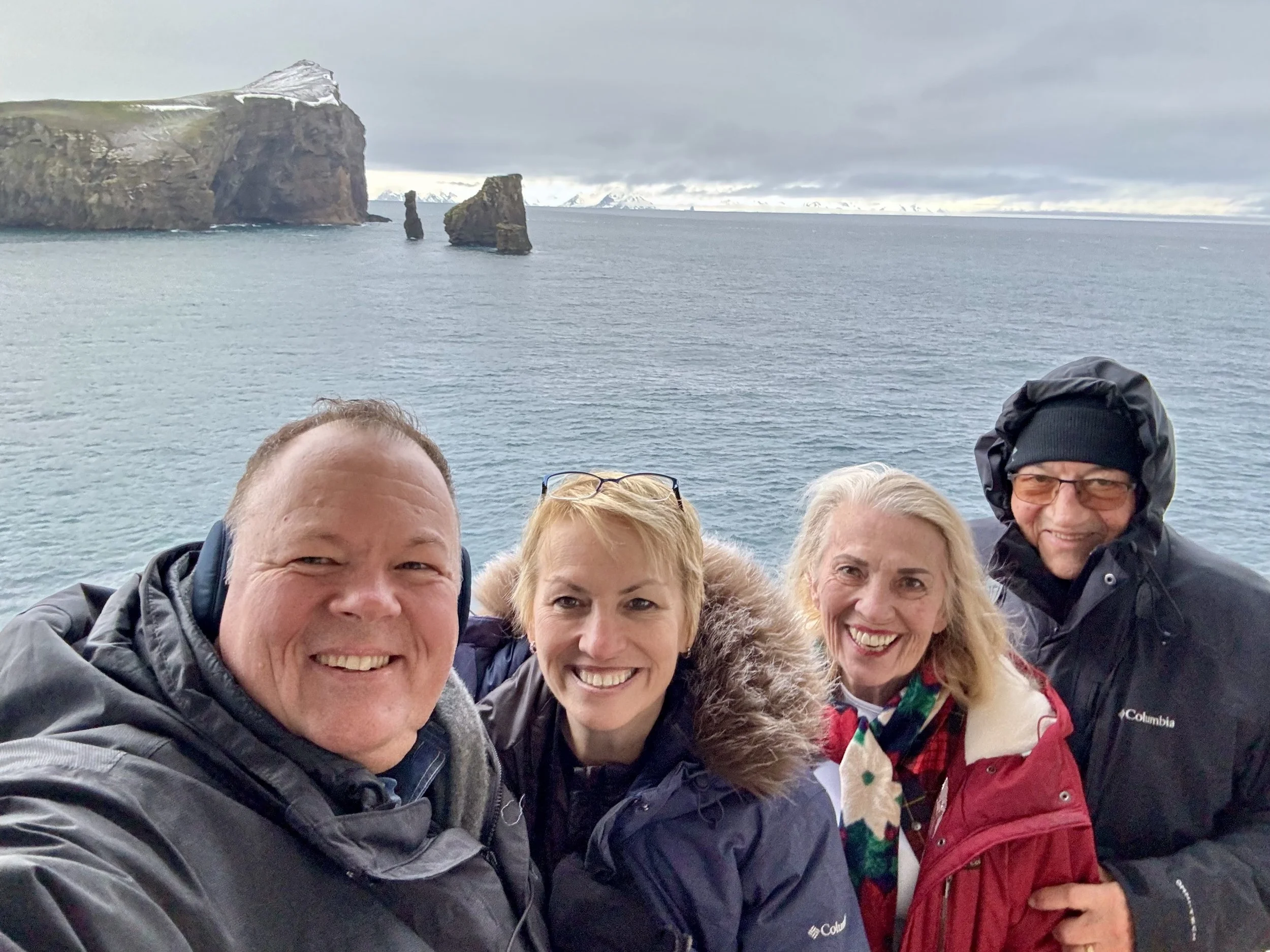
Mom and Dad are well enough to return to the bow of the ship and join us on the bow and it’s a few minutes before 9 AM. We didn’t know they would be recovered enough to join. This set the tone for another memorable day navigating the antarctic peninsula. AND, surprisingly, we nearly have the bow to ourselves, again.
One of the reasons I love to come out onto the bow the moment it opens is the peace before too many people join. But the other is due to the light. If, and it’s been a big if in the first three days in Antarctica… but if the sun begins to light the snow, or peaks, then those moments are some of my favorite… the shadows… and what will the sunlight bring to the forefront… or what will it choose to highlight… this is the perfect example….
Yes, there’s one of the many extraordinary glaciers in this bay… but it’s that light on the ridge… that’s what has my eye. I seek these views always. I attempted to capture most of the visible glaciers in this short video below.
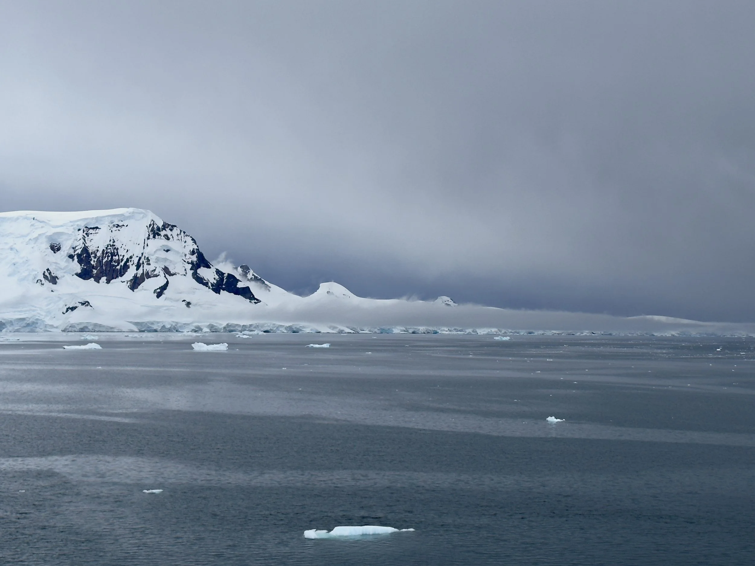
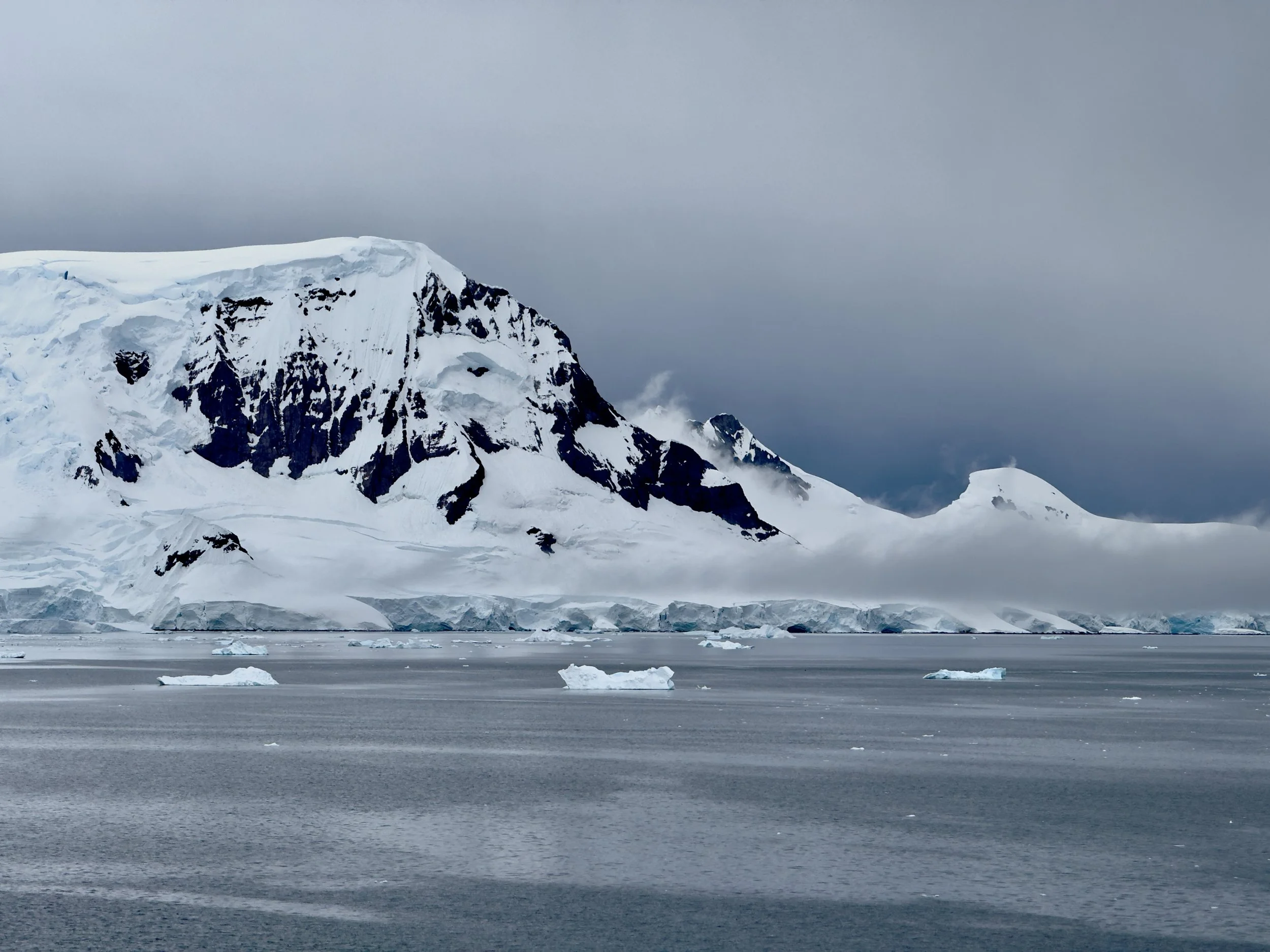
And just as the sun begins to peek through on the back of the bay… and I’ll share more images shortly… but as it does… if I turn 180 degrees to my back… and look at the way we entered the bay… and therefore the way we will exit… I strangely love what’s brewing in our path… and I will spare you the dozens of images I took of this part of the peninsula… but there’s something about the shapes, and the contrast of the growing anger of the sky behind it… that captivates me. Just three images of the same view as I zoom into the area that I cannot look away from.
As an historical aside, the bay was discovered by Adrien de Gerlache (and we’ve been traveling through the Gerlache Strait named after him for the last day) during the 1897–99 Belgian Antarctic Expedition and named after Charlotte Dumeiz, the fiancée of Georges Lecointe, Gerlache's executive officer, hydrographer and second-in-command of the expedition. The boat they were aboard was the Belgica which we heard a great deal about in our seminars aboard our ship. This is the image of the Belgica coming into this bay during that Expedition.
This expedition was the first expedition to winter over in Antarctica. If you’re interested historically, this inset quote from wikipedia is quite interesting. If not interested, obviously please skip past.
The Belgica expedition was poorly equipped and did not have enough winter clothing for every man on board. There was a shortage of food, and what there was lacked in variety. Penguins and seals were hunted and their meat stored before the onset of winter left the region devoid of wildlife. Warm clothing was improvised from the materials available. On 21 March 1898, Cook wrote: "We are imprisoned in an endless sea of ice ... We have told all the tales, real and imaginative, to which we are equal. Time weighs heavily upon us as the darkness slowly advances." Several weeks later, on 17 May, the perpetual darkness of polar night set in, and lasted until 23 July.
Gerlache disliked the penguin and seal meat that had been stored and initially tried to ban its consumption, but eventually encouraged it. Signs of scurvy began to show in some of the men. Gerlache and Captain Georges Lecointe became so ill they wrote their wills. Two of the crew started to show signs of mental illness and morale in general was extremely poor. Lieutenant Danco fell ill from a heart condition and died on 5 June. Danco Island was named in his honor. Several men reportedly lost their sanity at this point, including one Belgian sailor who left the ship "announcing he was going back to Belgium."
Cook and Amundsen took command as Gerlache and Lecointe were unable to fulfill their roles due to scurvy. The true cause of scurvy as a deficiency of Vitamin C was not discovered until the 1920s, but Cook was convinced that raw meat was a possible cure for scurvy due to his experiences with Robert Peary in the Arctic. He retrieved the frozen penguin and seal meat and insisted that each man eat some each day. Even Gerlache began to eat the meat and slowly the men recovered their health. It is now known that raw meat and organs contain a small amount of Vitamin C.
Several months of hardship followed. Even as spring and summer arrived, attempts to free the ship and its crew from the grip of the ice failed. By January 1899, Belgica was still trapped in ice about seven feet (2.1 m) thick and the possibility of another winter in the ice seemed real. Open water was visible about half a mile away and Cook suggested that trenches be cut to the open water to allow Belgica to escape the ice. The weakened crew used the explosive tonite and various tools to create the channel. Finally, on 15 February, they managed to start slowly down the channel they had cleared during the weeks before. It took them nearly a month to cover seven miles (11 km), and on 14 March, they cleared the ice. The expedition returned to Antwerp on 5 November 1899. Though the circumstances were severe, the expedition had nevertheless managed to collect scientific data, including a full year of meteorological observations.
We’ve spent nearly ninety minutes in this calm paradise. I think my heart rate and blood pressure have dropped 15% or more since I stepped foot on the bow. One final shot of the light creeping into our forward view before the captain turns the ship back towards the mouth of the bay, and darkness fills the field of view. For me, this image captures that dancing light above, the magnitude of the glacier below, and what appears to be a river running through the center, that’s cut by the wind.
Once the ship has ever so gently been turned 180 degrees as to not upset the still waters of the bay… more images that I could stare at for hours are created on this Charlotte Bay palette…
Our last bit of light to the east is enough to generate the reflections on the still water…
My favorite iceberg today…
Today’s Second Moment of Zen:
This is definitely a top five video of icebergs for me on this trip. I have watched this so many times since departing the bay.
And now the Captain charts our path to Deception Island… navigating winds and rain for the next several hours… and we all go back inside the boat and hunker down… but my eyes are focused on the seas. We get a reprieve from the wind and rain a little after 11 AM… and with the calmer seas it’s easier to spot the breaks in the water by wildlife and we encounter humpback whales abound…. and I was fortunate to get a first glimpse of many of them that got me back out to the deck… and amidst the humpbacks in this first video, I also spot an Orca dorsal fin… the only Orca we will see on this trip…
Video of the Day:
I am so grateful for the whales above that got me to pay attention to the seas and drew me to the deck. Because moments later I encountered this pod of whales and I was able to get close to them and film them for a full three minutes and towards the middle of the video I’m close enough to the pod to hear their whale spouts, and them making sounds to one another, and splashing about. This is the best video of whales I will encounter for the balance of our journey. I would take this full screen, and bring your volume up.
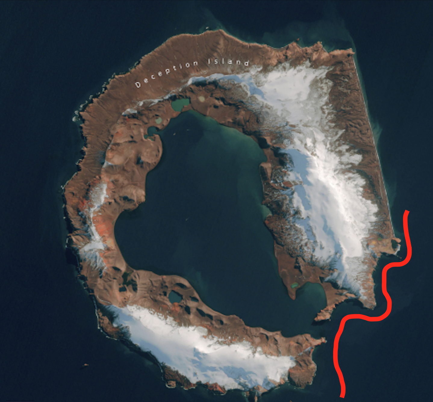
After this, and the weather turned again, it stayed socked in with wind, rain, or fog and haze all the way until we were within a mile or so of Deception Island. We all discussed how strange it was to spend the entire day traveling this distance and up until 5-10 minutes ago, there seemed like little that we would see of Deception Island, or the Penguin colony nearby, or much of anything. As we approached, it’s like it just all dissipated…. amazing. We will navigate this area where I’ve drawn the red line… from south the north, over the coming hour.
The red ellipse I’ve drawn is to show you where all the following images will be taken from.
The name Deception Island disguises its true identity, as one of only two active volcanoes in Antarctica. Its port, known as Port Foster, is the flooded crater of a volcano, with its distinctive shape formed by a violent eruption 10,000 years ago. It is believed to have blown the top off the mountain, creating a space that seawater could access. The result is one of the few places in the world where boats can sail directly into the centre of an active volcanic caldera (our boat though, is too large to travel into the center)
The volcano in the South Shetland Islands has seen far more recent eruptions than 10,000 years ago, with three major ones as recently as 1967, 1969 and 1970. At that time, scientific research stations were operating on the island, and both Chilean and British manned outposts were destroyed by the volcano. In the aftermath, the island was abandoned, though much of the infrastructure from that time remains today.
The image below seemed so odd when I captured it. The most senior of the expedition specialists onboard shared about the strange melted snow pattern seen below… and he reminded us that this is an ‘active’ volcano and the heat from the volcano keeps snow melting in this pattern shown.
I don’t capture many images of birds (except the zillions of flightless one’s… penguins) on this trip but I did a few… and this was one of them. I don’t even know their type… but I just loved how they flew together… and against this backdrop. If you take the video full screen you might enjoy it too.
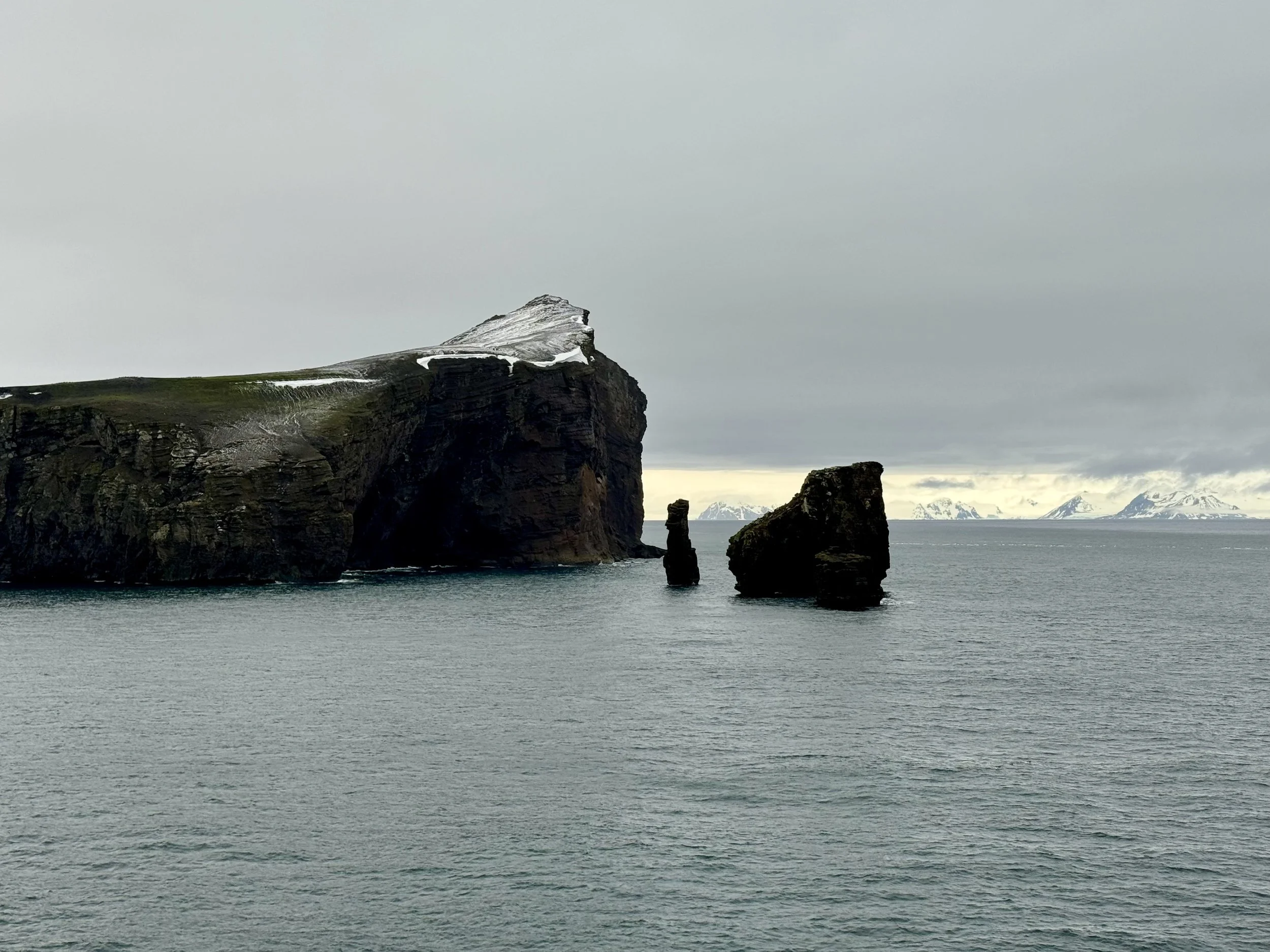
This area is Neptune’s Window and we don’t spend much time here. Instead, we motor pretty quickly around the southeast point to head to Baily Head, and Sewing-machine Needles Island.
On our way, a family of penguins decide to motor alongside of us, slicing and dicing the waters with ease and grace, frolicking it would seem, and I follow them for as long as I can.
Baily Head is home to almost 400,000 chinstrap penguins… the largest colony of the chinstraps in the world. For a site of so much destruction, and, in the early 20th century, so much death, the continual survival of natural life on an active volcano is rather more uplifting than other parts of Deception Island’s history which I haven’t documented here, but it’s an easy historical find via google search.
As we round that southeast point, the Sewing-machine Needles Island is impossible to miss….
As we navigate closer to Baily Head… there are Chinstrap penguins as far as the eye can see. As we’re losing light, resolution of the images I can capture become diminished and it goes in and out of focus but captures the upper ridge pretty well. But, it’s not hard to see the penguins all the way to the ridge.
A little later when the the overhead haze lifts and you can see the snow covered area behind the ridge, there’s enough light to capture the begins better even though the rest is dark.
The Captain lets us know we now have to begin our charted course to Elephant Island in order to arrive by early tomorrow morning. So, we begin to move around Baily Head.
In the event you’d like to move around the head with us….
On a Personal Note:
I will now circle back to where we started the day. In Charlotte Bay. I share this video with you of the bay, along with one of my all-time favorite songs by Colin Hay who is a songwriter I have followed for decades. He is known for his famous songs with Men at Work from the 80’s. But years later, he became a solo artist, song-writing, and traveling the world. When I saw him in Portland, OR it nearly broke me when he played this song. So now, I share, with anyone who cares to listen.
Tomorrow it’s the famed Elephant Island before we leave the Antarctic Peninsula and head back through Drake Passage, to the Falkland Islands.
For today, I leave you with this video, and song….
Music by Colin Hay.

